|
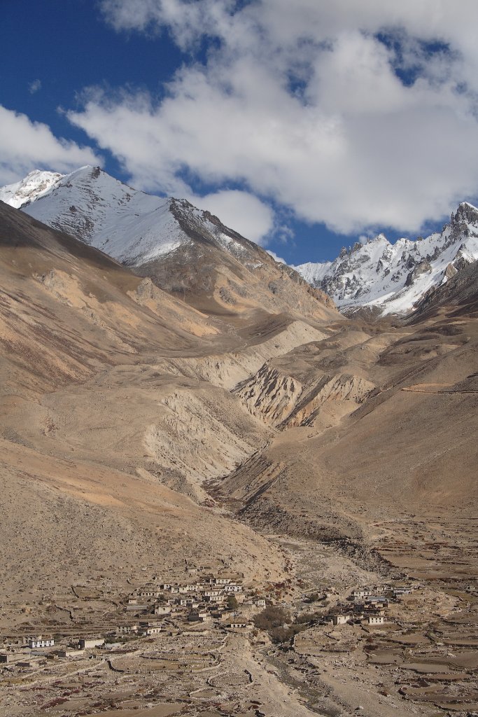 |
| On the highway to Nepal | |
| Latitude: N 28°15'23,06" | Longitude: E 86°0'52,40" | Altitude: 4133 metres | Location: Koryag | State/Province: Tibet Autonomous Region | Country: China | Copyright: Ron Harkink | See map | |
| Total images: 15 | Help | |
|
|
|
| On the highway to Nepal | |
| Latitude: N 28°15'23,06" | Longitude: E 86°0'52,40" | Altitude: 4133 metres | Location: Koryag | State/Province: Tibet Autonomous Region | Country: China | Copyright: Ron Harkink | See map | |
| Total images: 15 | Help | |